01
Collect defensible field data
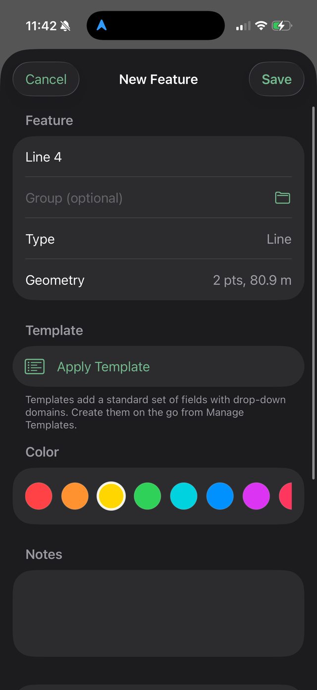
Record points, lines, polygons, tracks, photos, notes, templates, coordinates, GPS quality, measurements, and review status in the field.
Field mapping for the ology world
Ology is being built for archaeology, biology, geology, environmental survey, lidar mapping, and the field crews who need offline maps, accurate data collection, and real scientific context in one place.
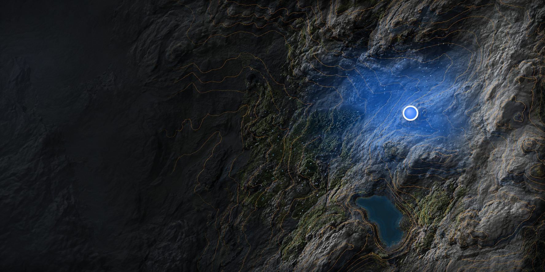 Live from the app — lidar terrain + GPS
Built from field experience
After years of making archaeological and biological maps, testing field apps, carrying paper forms, switching between GPS tools, and processing lidar back at a desk, Ology brings the core pieces together for real survey work.
Record points, lines, polygons, tracks, photos, notes, templates, coordinates, GPS quality, measurements, and review status in the field.
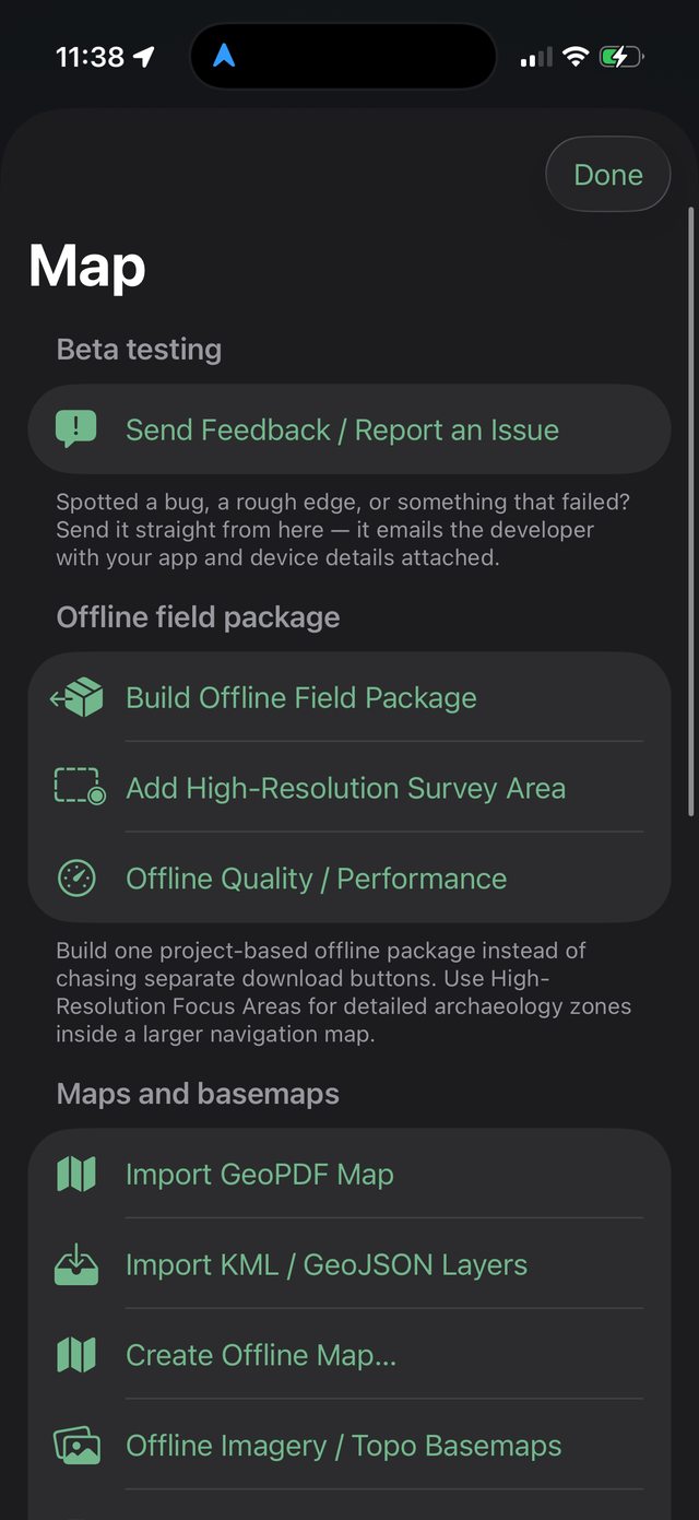
Prepare map areas, download imagery, topo, elevation, public reference layers, and field packages before heading away from service.
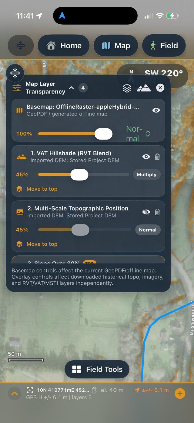
Import DEMs, download elevation, and generate terrain visualizations that help reveal mounds, scarps, roads, terraces, drainage, and landforms.
Choose your workflow
Ology is one app, but every discipline gets its own workflow. Pick yours below.
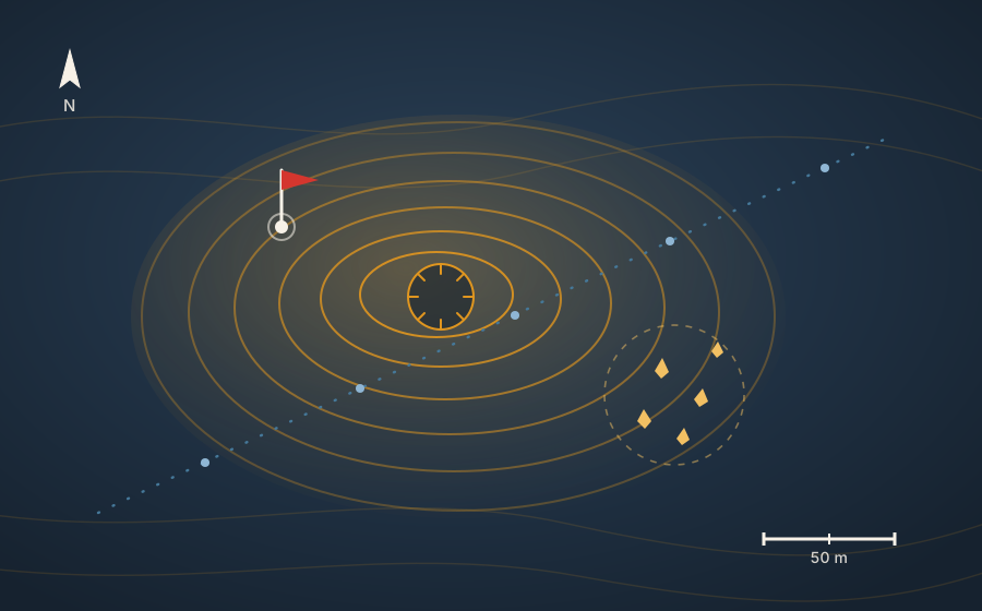
Archaeology
Navigate terrain visualizations, record site features, document artifact scatters or architecture, attach photos, and export organized records for GIS analysis and reporting.
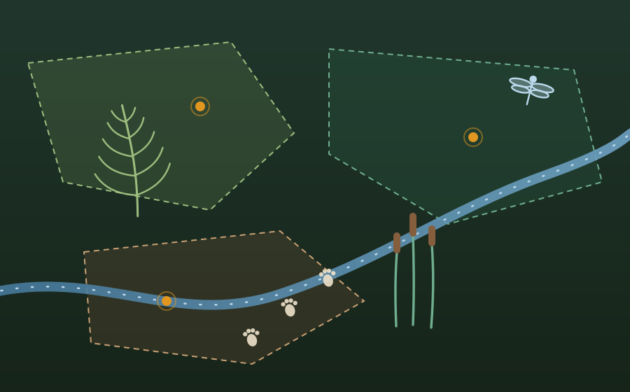
Biology
Support biological fieldwork with offline project layers, photo-linked records, wetland or habitat boundaries, plant observations, and clean spatial exports.
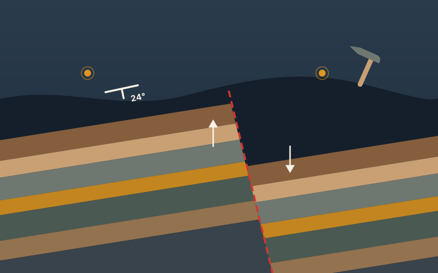
Geology
Record field locations, photos, notes, tracks, geomorphic features, outcrops, and elevation context while keeping the terrain view visible.
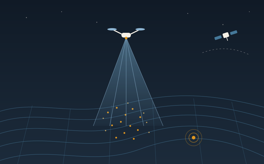
Remote sensing
Use UAV lidar, DEM derivatives, imagery, SAR products, and modeled surfaces as field layers so remote sensing outputs can be checked on the ground.
New: desktop model trainer
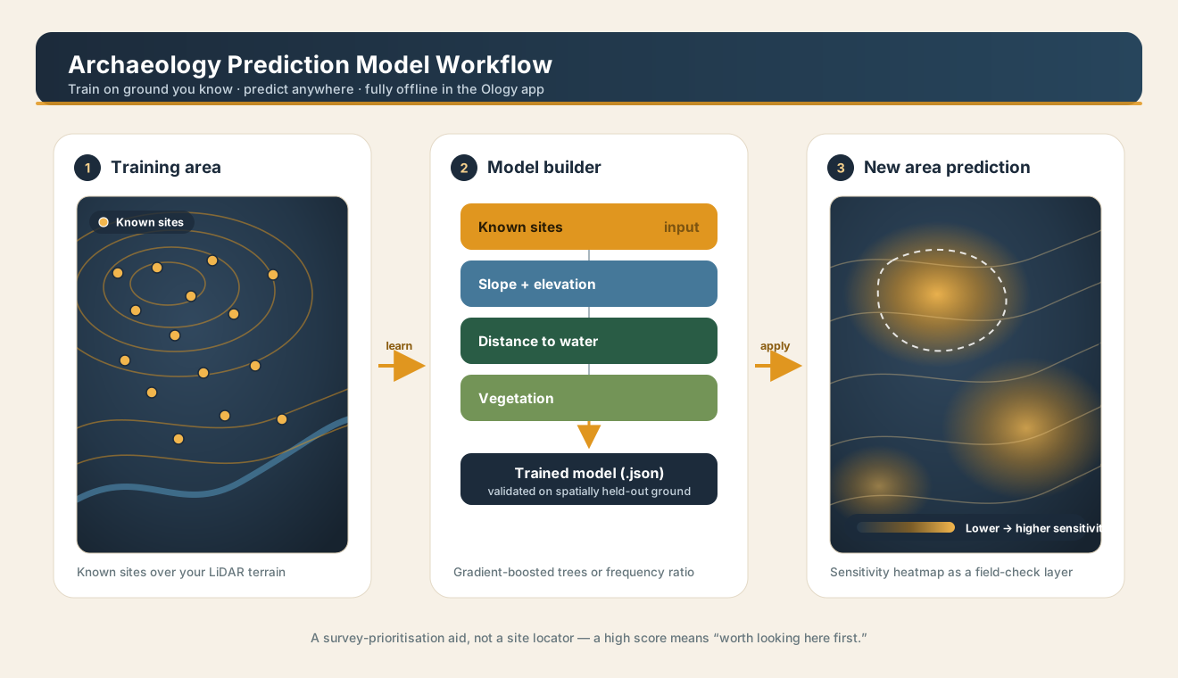
The Ology Model Trainer is a desktop GUI that learns from your known sites and your own LiDAR DEM, then exports a single model file that imports straight into the app. Train once on ground you know; predict anywhere — no cell signal, no cloud.
The idea
Ology is not meant to replace professional GIS. It is meant to make fieldwork better before the data ever gets back to ArcGIS, QGIS, CloudCompare, or a report. The goal is simple: fewer disconnected apps, cleaner observations, stronger field context, better exports, and maps that actually work when you are offline.
Use cases
Ology is especially useful when the same project needs map navigation, structured observations, photos, GPS tracks, lidar-derived terrain, agency layers, landforms, geology, and final export data.