GPS
Points, lines, polygons, and tracks
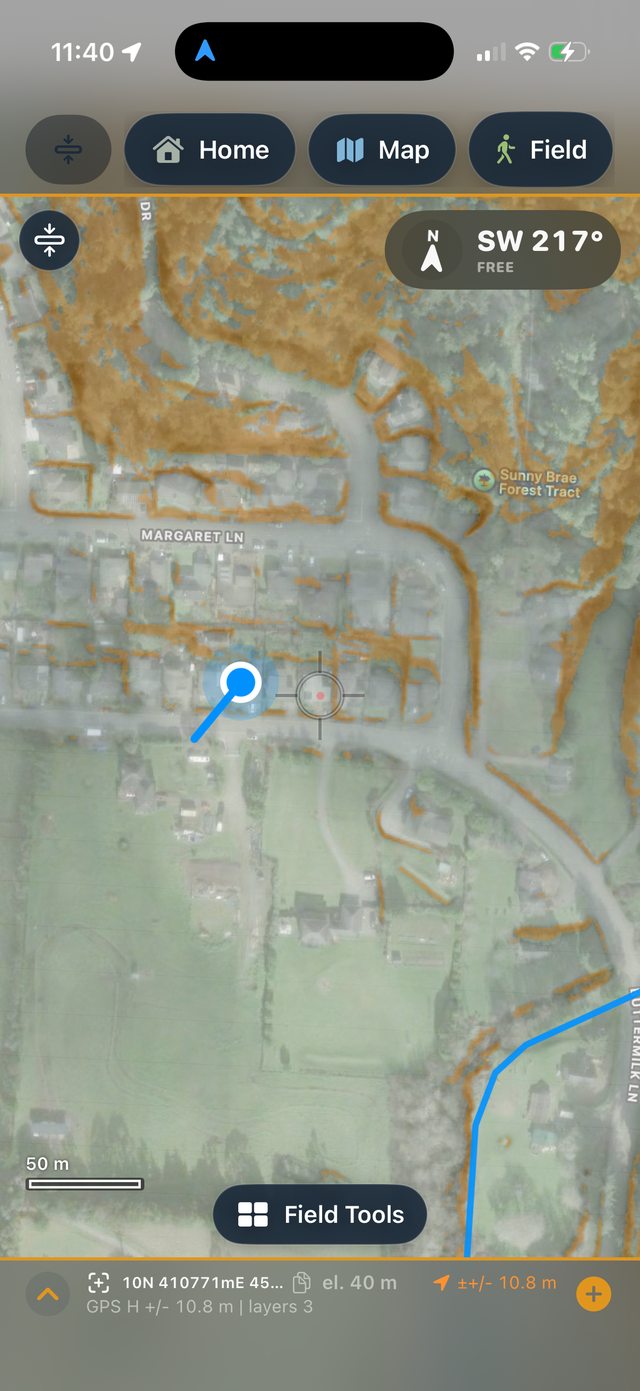
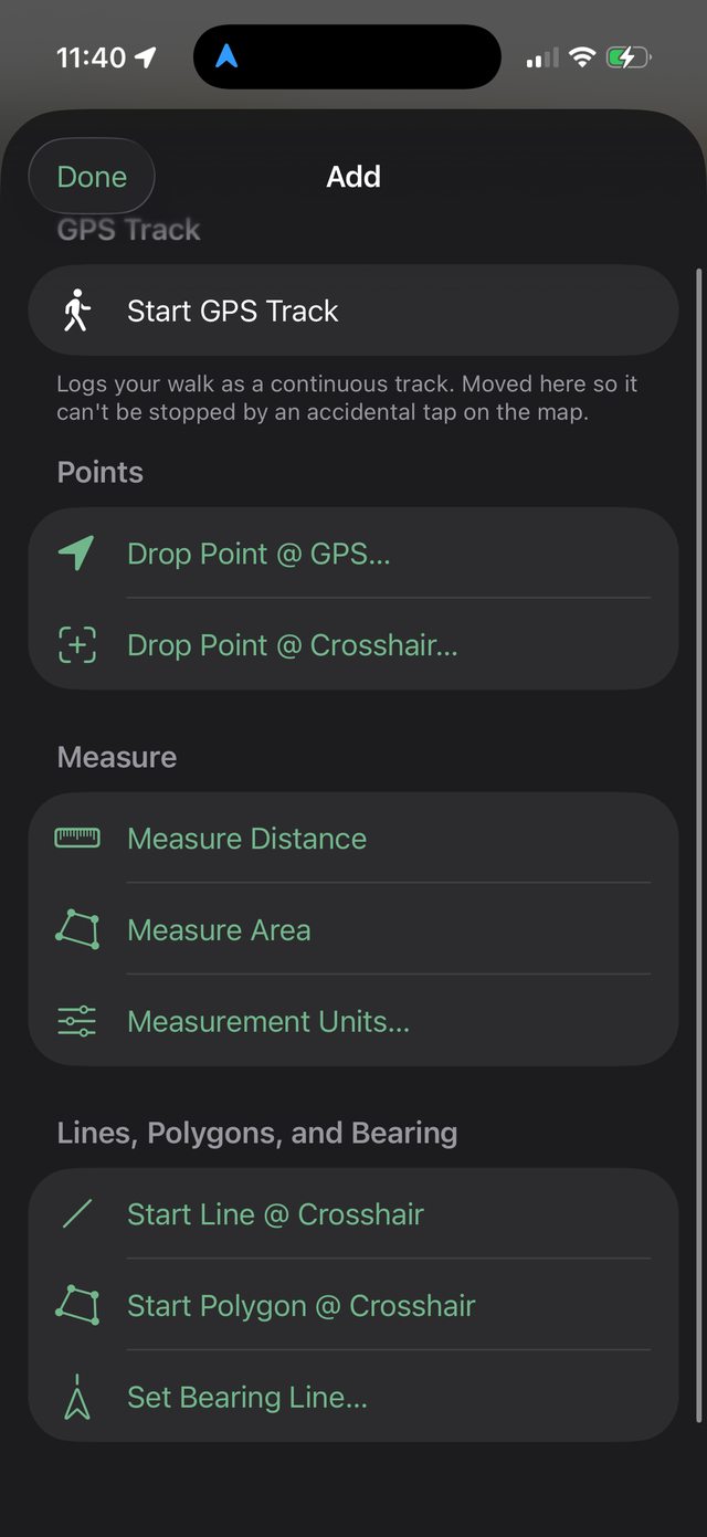
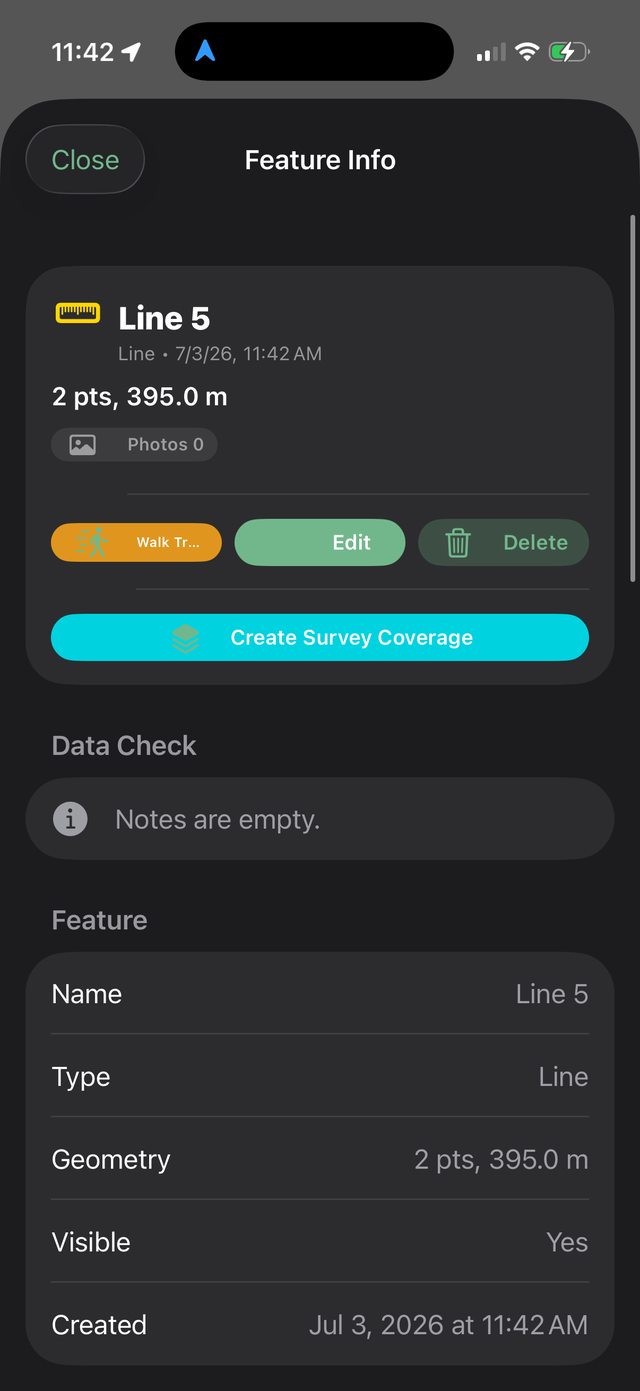
Collect features from live GPS or the map crosshair, measure distance and area, save GPS tracks, edit geometry, move vertices, and attach notes and attributes.
The app
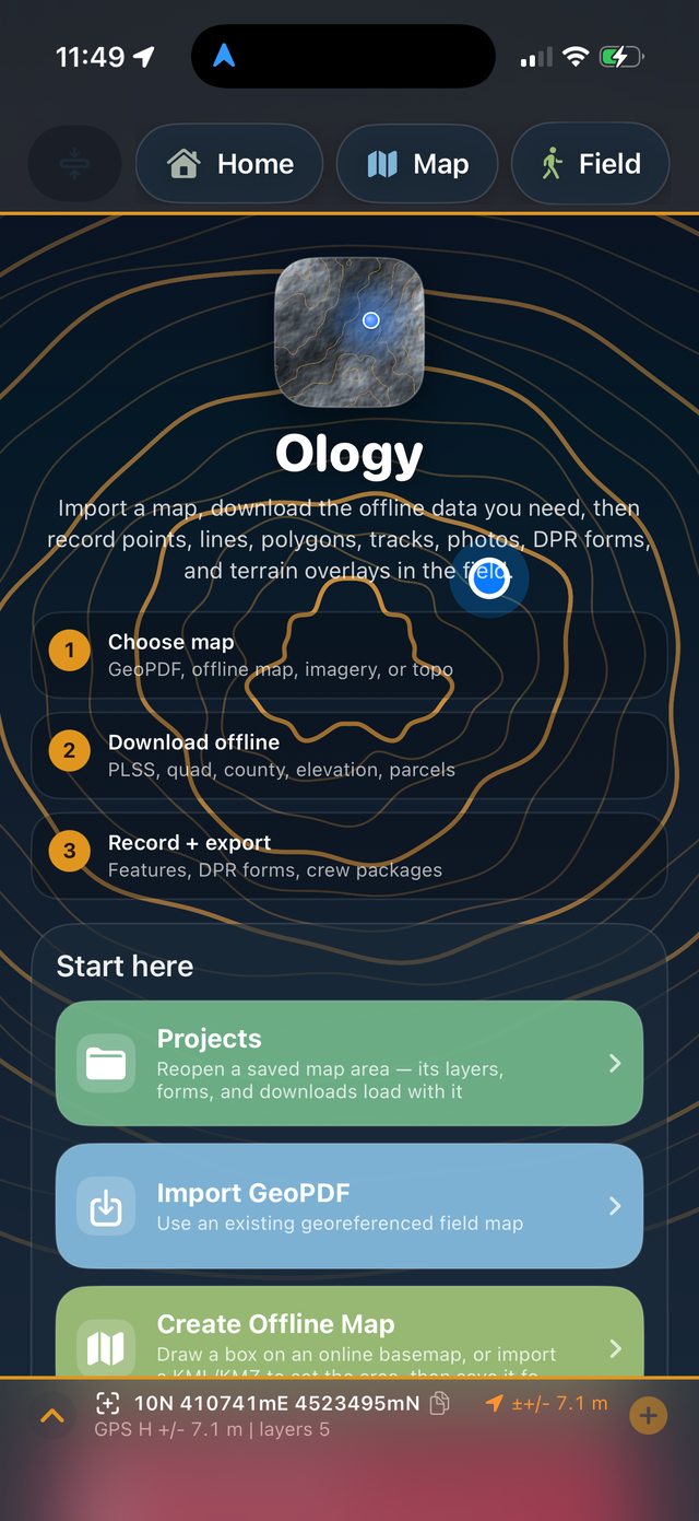
Ology is an iPhone and iPad field mapping app in active development. It combines field data collection, offline map preparation, lidar and terrain visualization, archaeology forms, geology layers, GNSS support, project packaging, and GIS exports.
Field collection
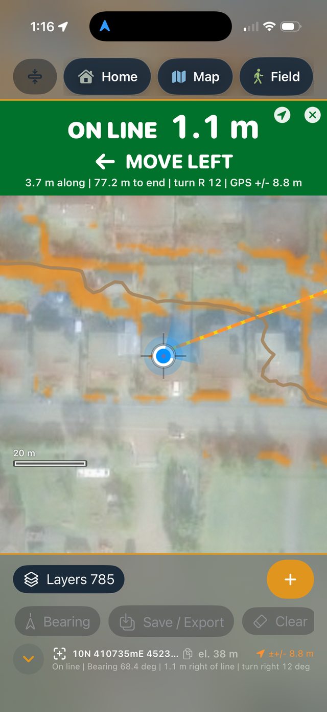
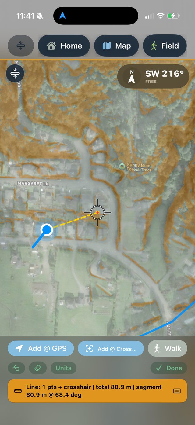
Collect features from live GPS or the map crosshair, measure distance and area, save GPS tracks, edit geometry, move vertices, and attach notes and attributes.
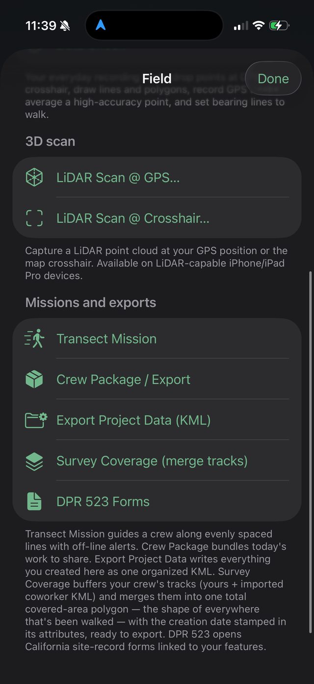
Attach field photos to features and capture iPhone LiDAR scans with PLY, LAS, and high-quality photo export options.
Review survey status, map readiness, GPS status, new features, missing notes, missing photos, GPS accuracy, and features needing review.
Archaeology
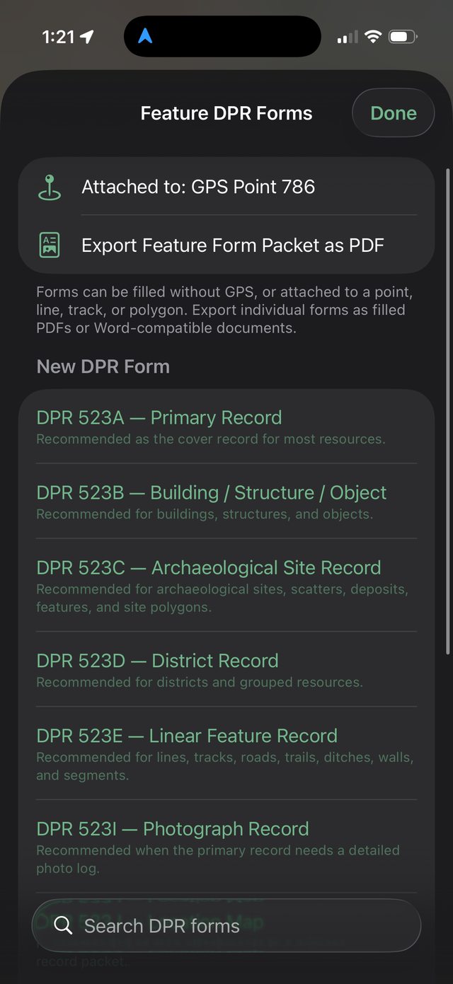
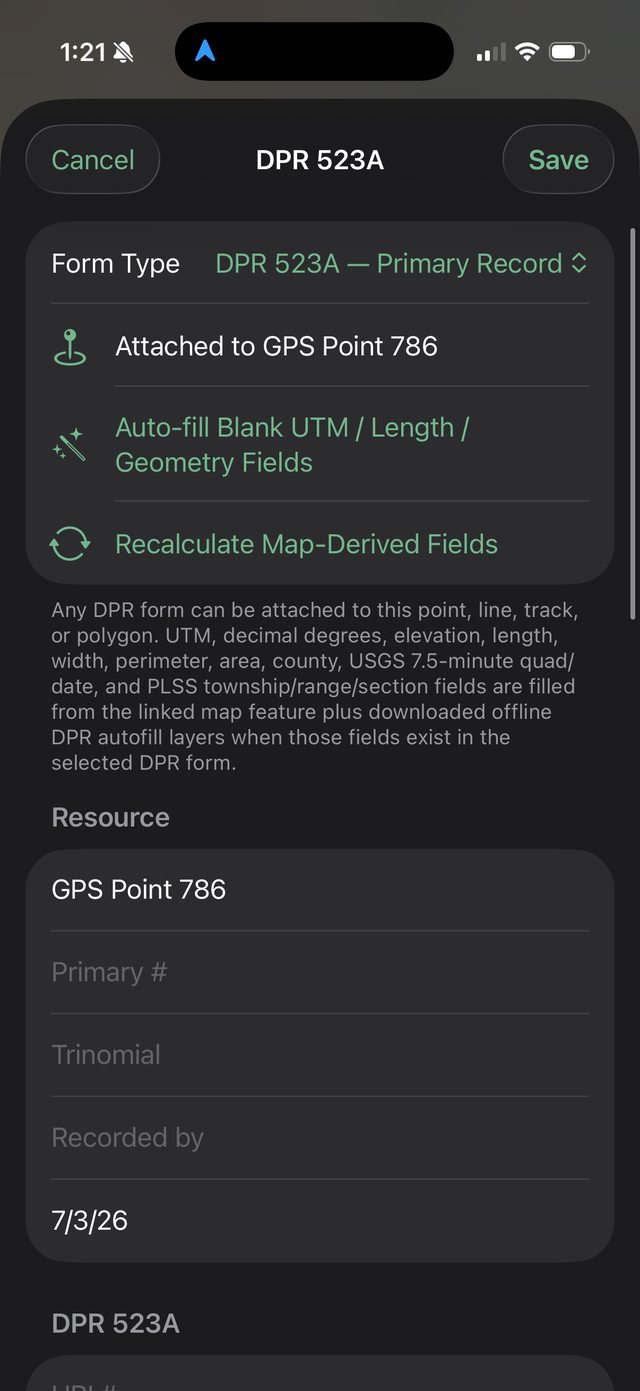
Ology includes quick templates for Maya mounds, lithic scatters, ceramic scatters, walls and alignments, trails and roads, looting pits, disturbances, and photo points. Features can include condition, confidence, visibility, notes, photos, and review status.
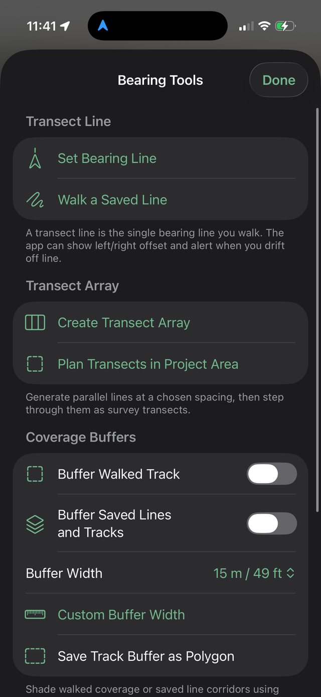
Offline maps and imports
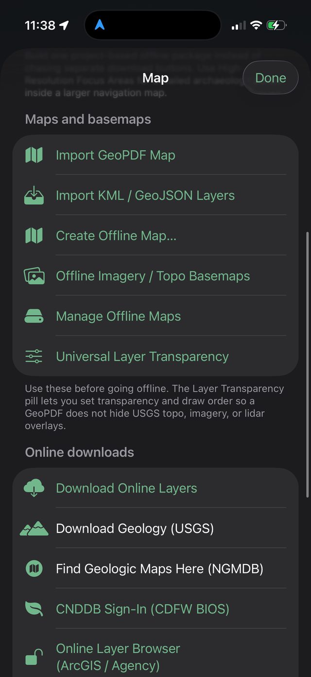
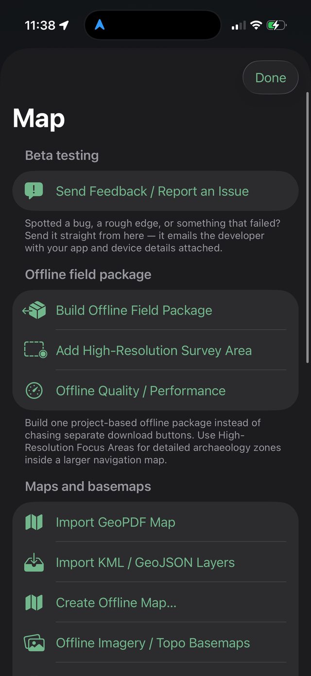
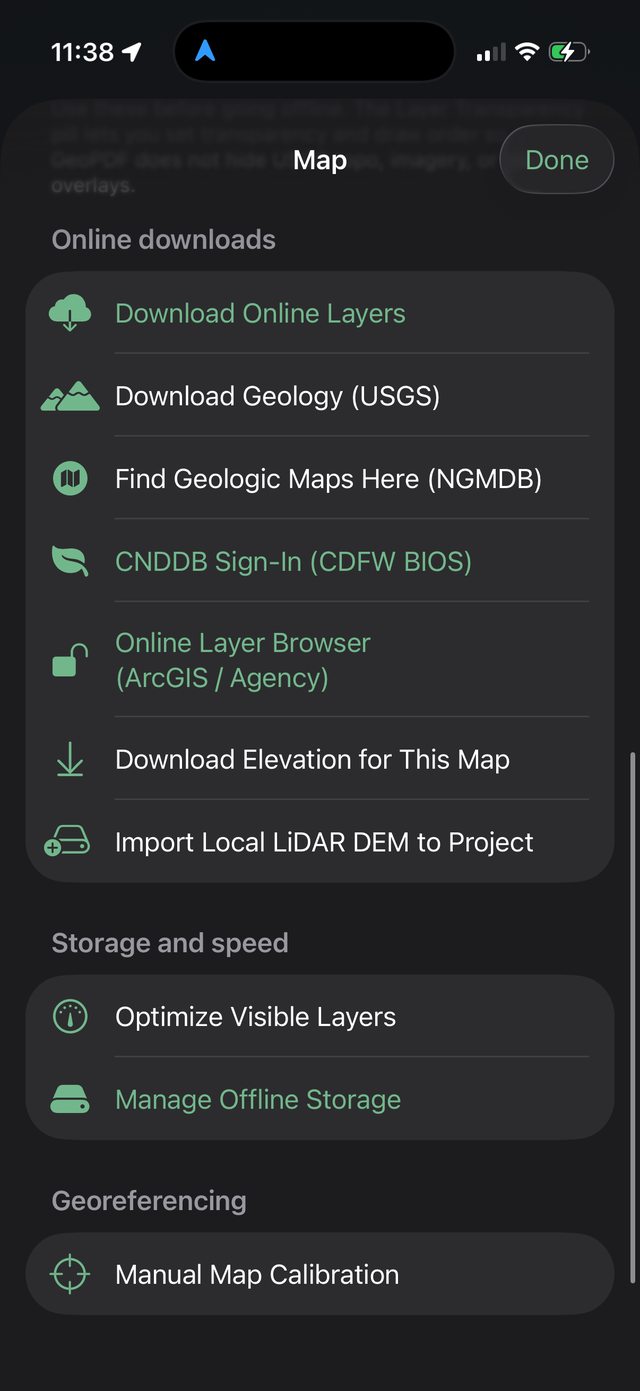
The app is built around field packages and local files, so a crew can work with useful maps and reference data away from cell service.
Import georeferenced PDFs, view map frames, and manually calibrate maps when needed.
Import and export field layers, tracks, measurements, polygons, and points for use in GIS and other mapping tools.
Build project packages with basemaps, elevation, reference layers, terrain visualization, forms, and field layers.
LiDAR and terrain
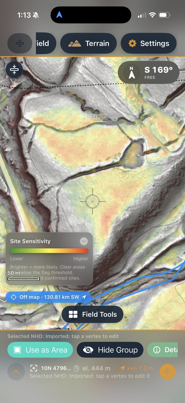
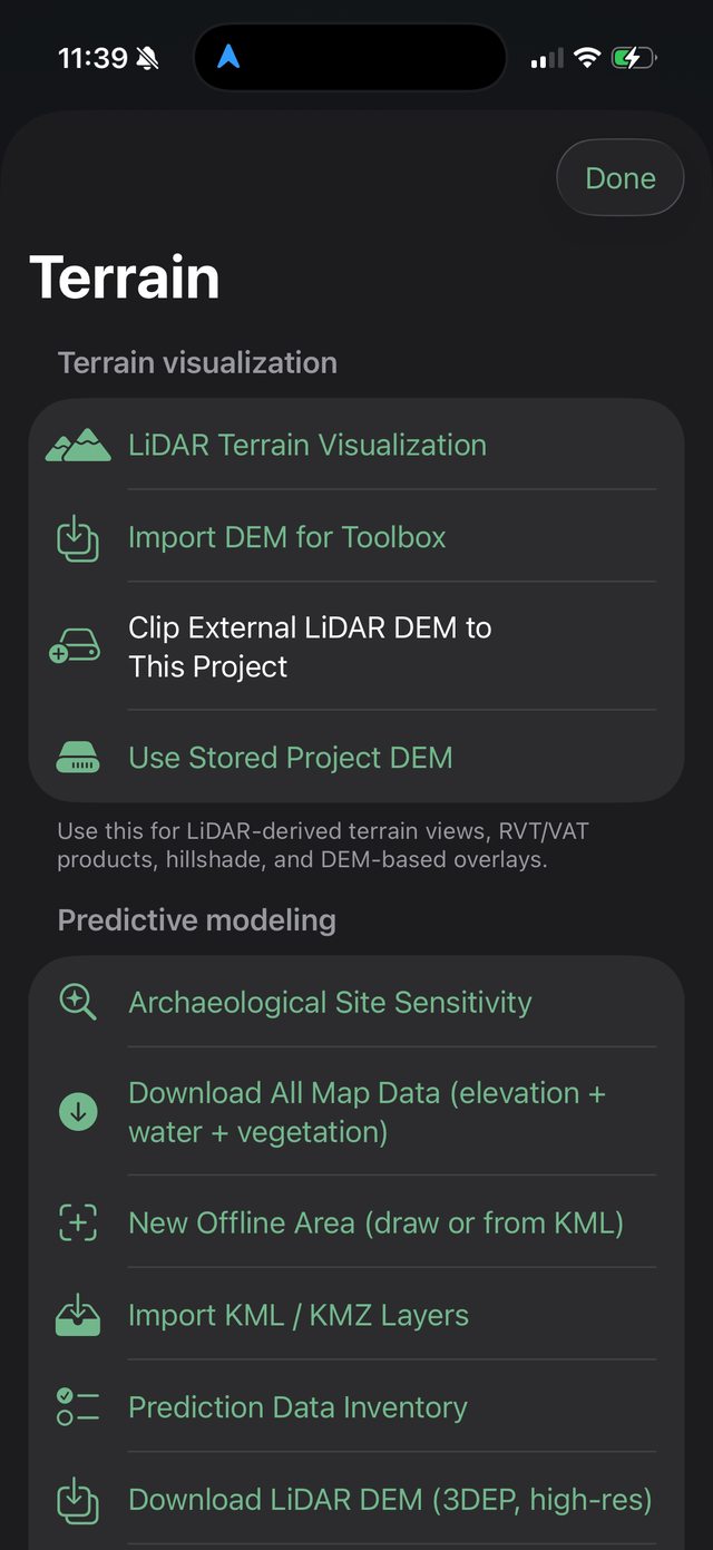
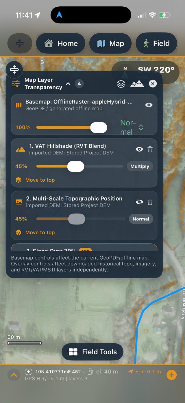
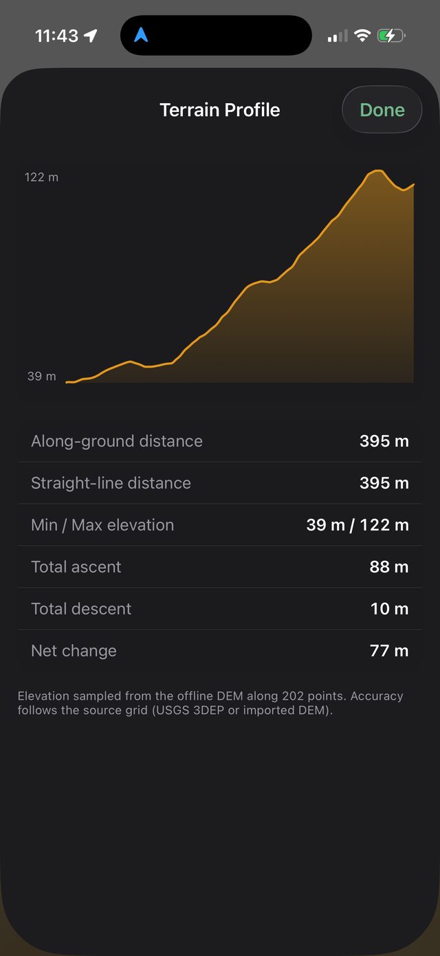
Ology can import local LiDAR-derived DEMs, download elevation for the map area, clip external DEMs to the project, and create field-ready terrain overlays or basemaps.
Geology, biology, and public reference data
Download rock units, faults and contacts, and geologic point features for the current map extent. Useful for formation context and toolstone mapping.
Search the NGMDB catalog for geologic maps covering the project area, then open or import map resources when available.
Use online layer tools for public ArcGIS services, CDFW BIOS-style secured layers, OpenStreetMap, Forest Service, parcel, PLSS, county, and quad reference data.
GNSS and measurement
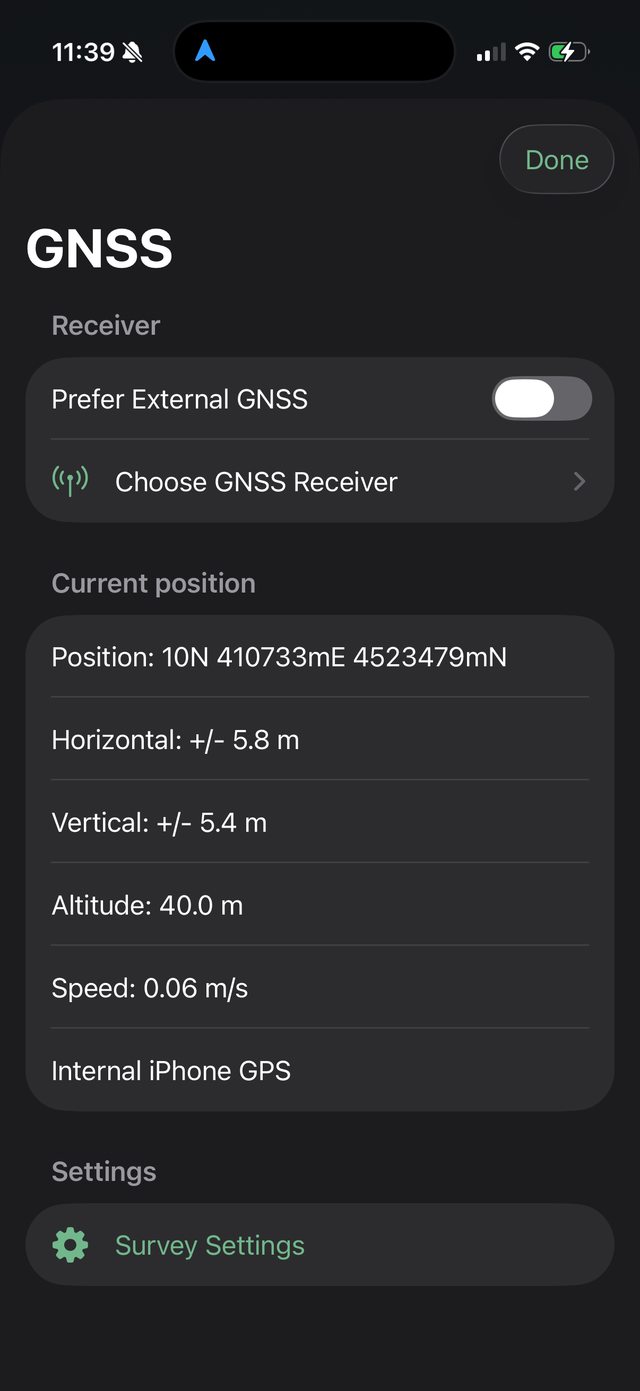
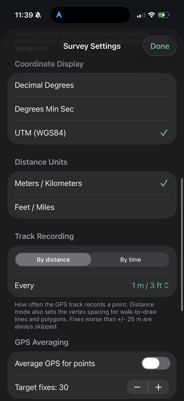
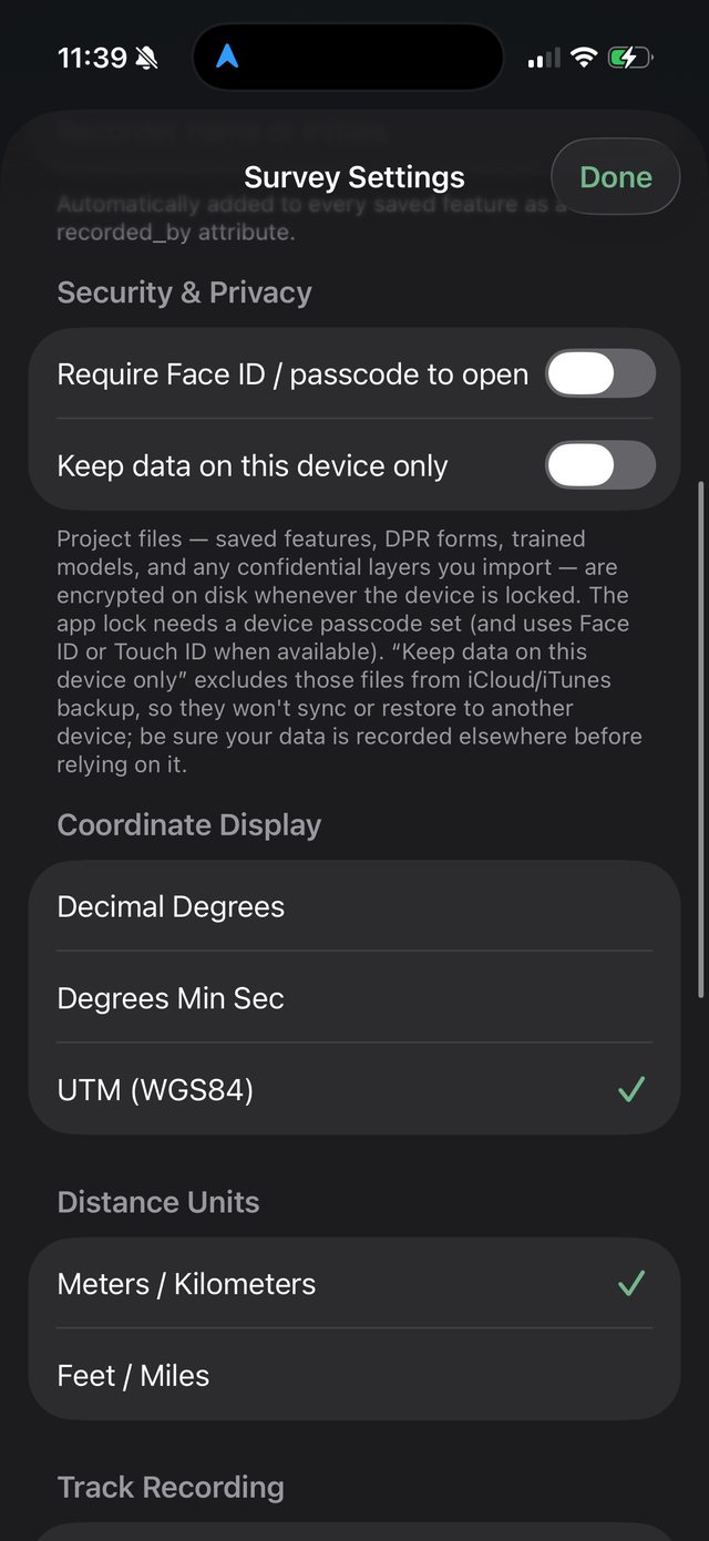
Ology supports internal device GPS, external GNSS receiver workflows, NMEA-style receiver status, GPS averaging, coordinate display settings, UTM, decimal degrees, degrees/minutes/seconds, and measurement units.
Status
The app is currently being shaped around real field needs and private/beta testing workflows. The long-term goal is a polished field mapping tool for archaeology, biology, geology, environmental survey, lidar, and remote sensing work.