What it does
Landscape position, not object detection.
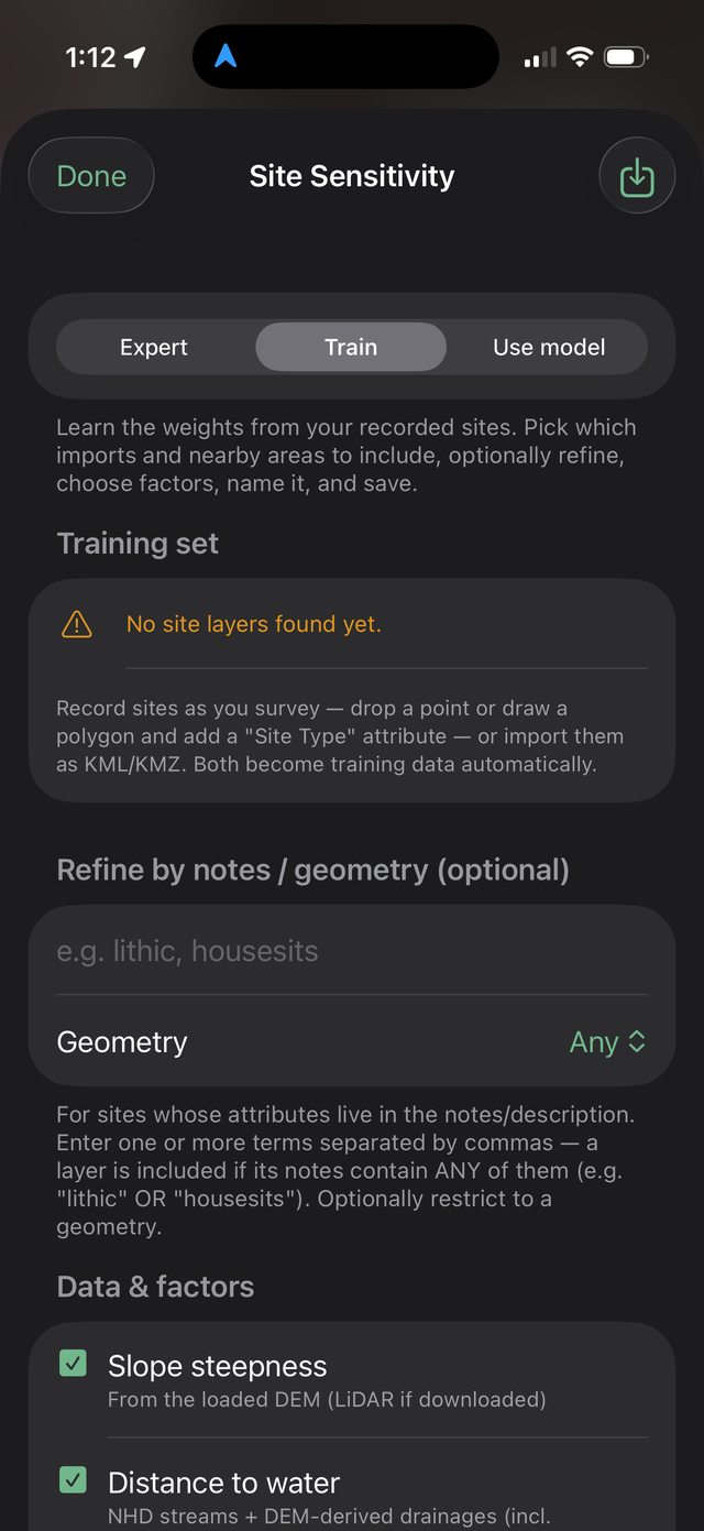
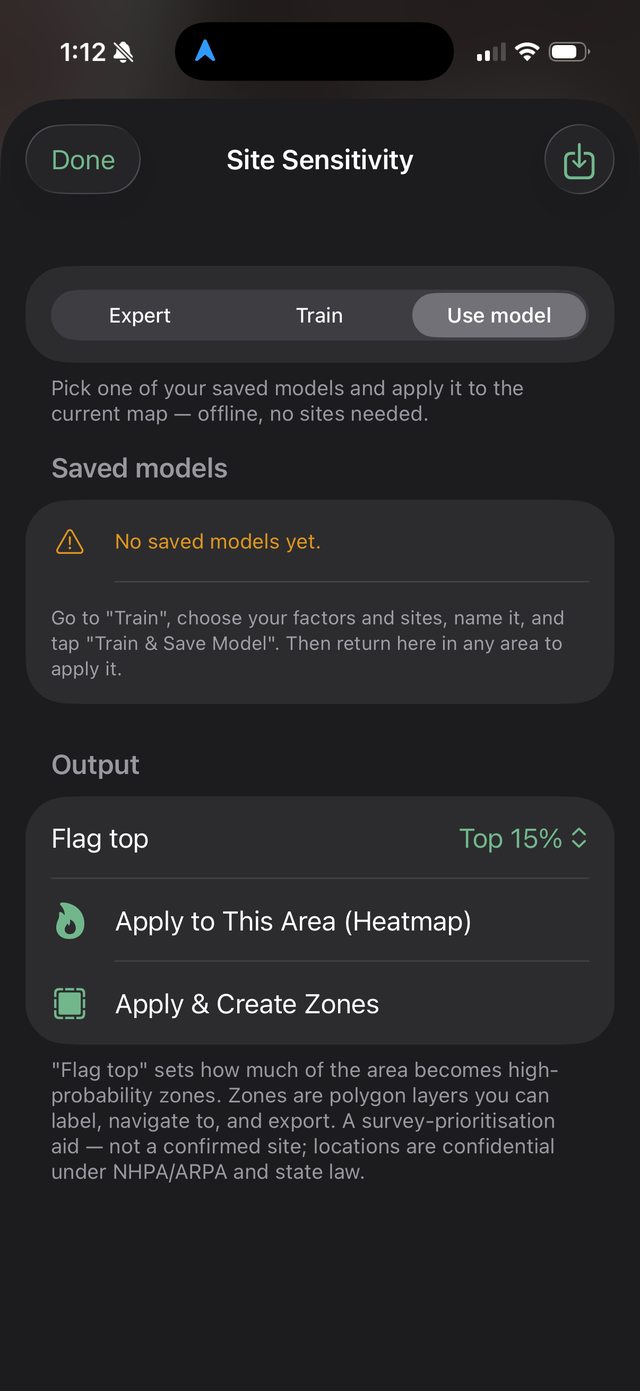
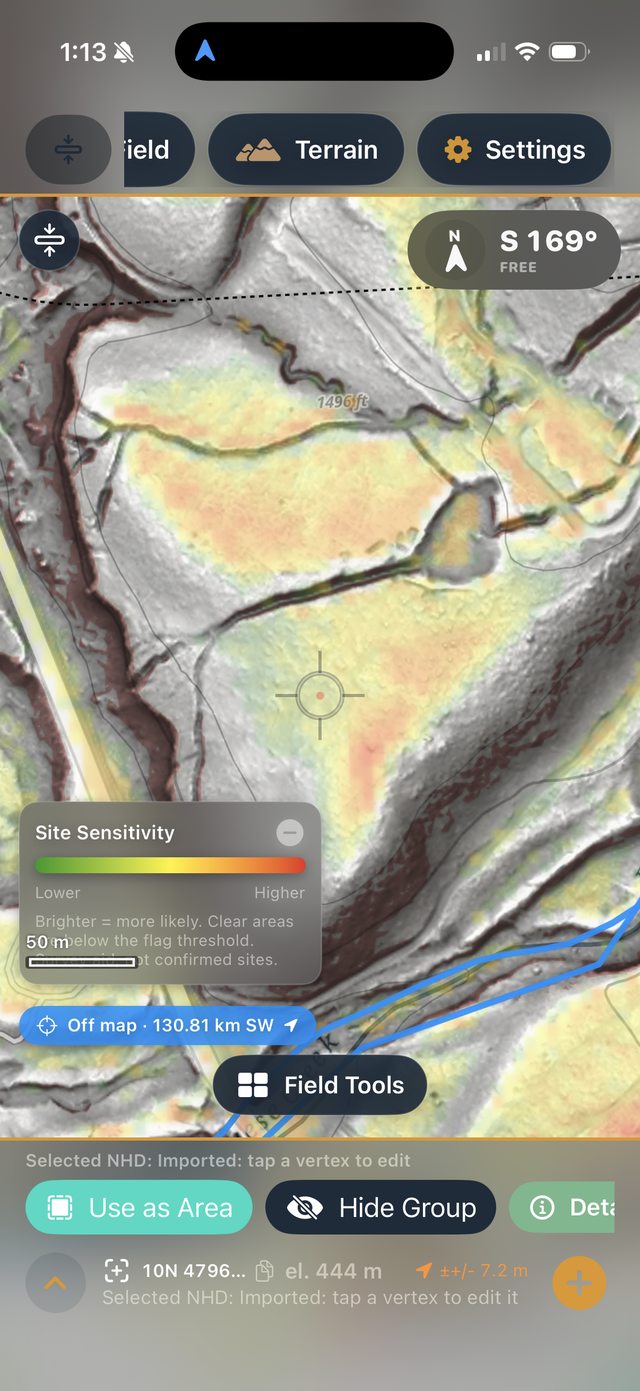
The trainer builds a predictive site-sensitivity model. It learns, from the places where sites are already known, what the terrain tends to look like where people lived — then it scores every patch of a new area for how much that ground resembles known-site terrain. The output is a heat surface: brighter means more likely to reward survey.
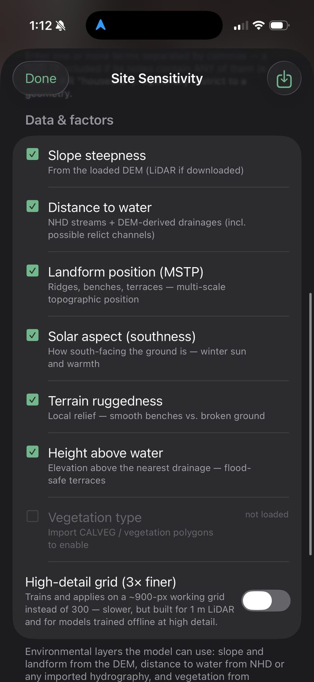
The model never tries to “see” a house pit or a scatter in the imagery. It asks: is this spot the kind of place — near reachable water, on a flood-safe bench, gently sloped, sheltered — that people historically chose? That is a question terrain can answer, which is why it works even for sites that leave no visible trace on the surface.
A prioritisation aid, not a site locator: a high score means “worth looking here first,” not “a site is here.” Ground-truth everything.